I’ve become somewhat of an accomplished junior surveyor over the last few weeks, as the need to figure out the location in 3D space for several elements of our hardscape has come up, like the bio-filtration basin.
This ridiculous thing is supposed to clean all the water that runs off of our property before we dump it onto the dirty street. In any event, we had a location of the basin from the landscape plans and had to translate that into physical space.
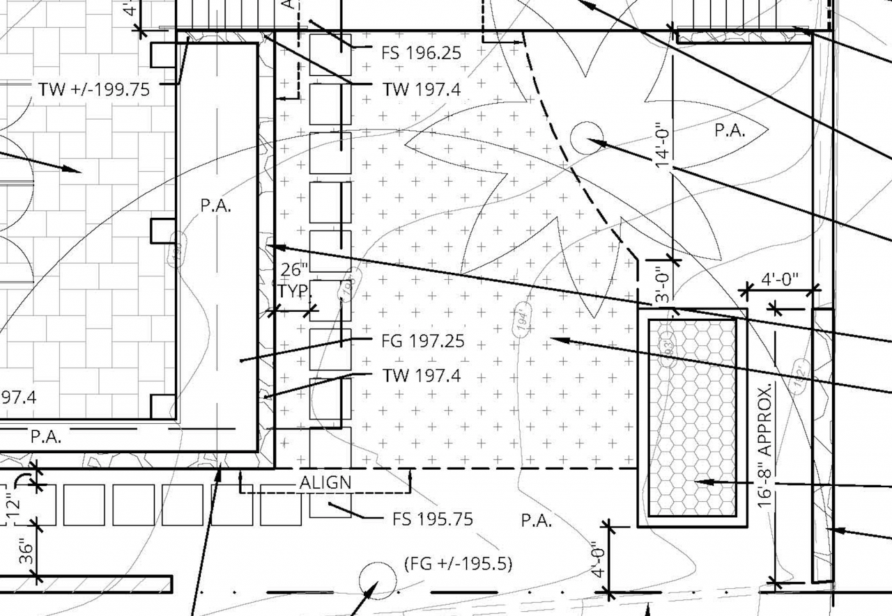
From the landscape plan we knew the location of the basin relative to some monuments, and the elevation of at least one point in the vincinity – the front porch.
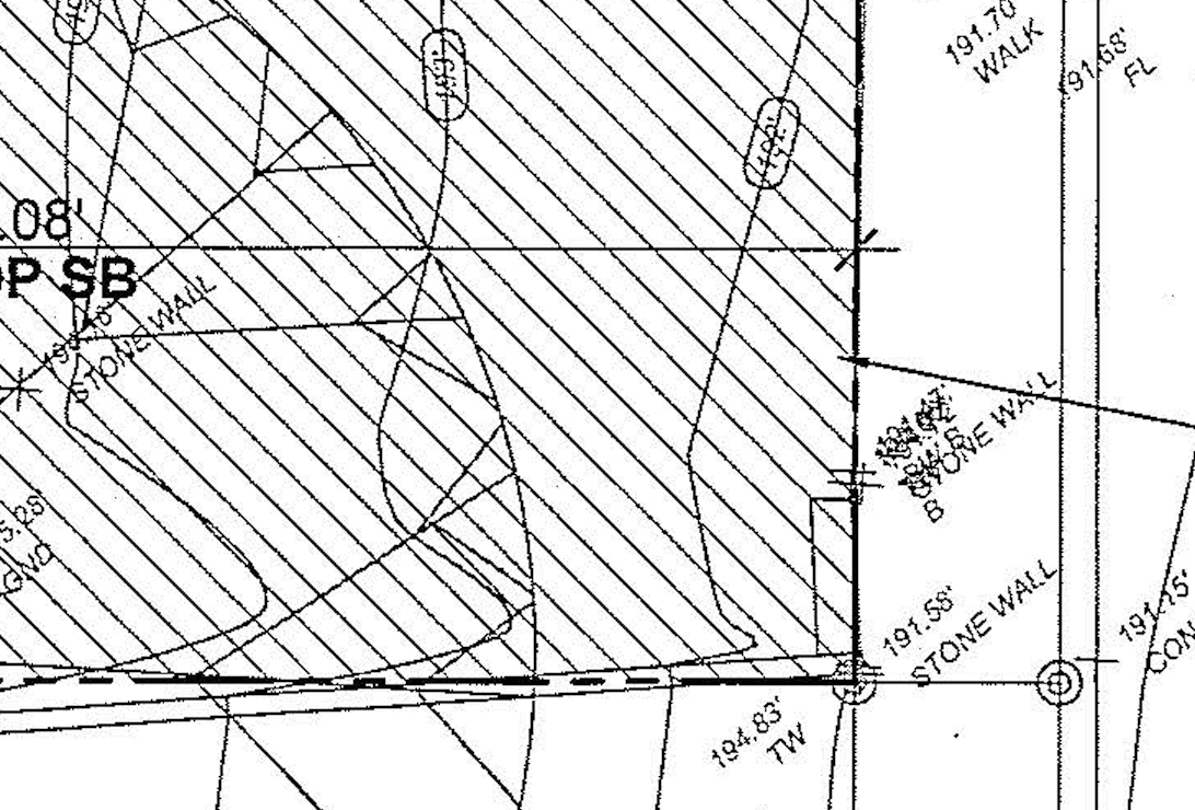
From the site survey we originally had done, we also knew the elevation of the survey marker on the corner of the lot.
We used a laser on the front porch to measure the elevation difference between the two points, and they were within a couple of inches. That is expected, as the front porch elevation can vary slightly depending on the thickness of the stone we have one it. It is also close enough for our needs.
From the front porch, using the laser survey device, we were able to establish the bottom depth of the basin.
For the location, we used the corner lot marker, as well a survey peg that marked the 30 foot front setback, as well as the 10 foot side setback.
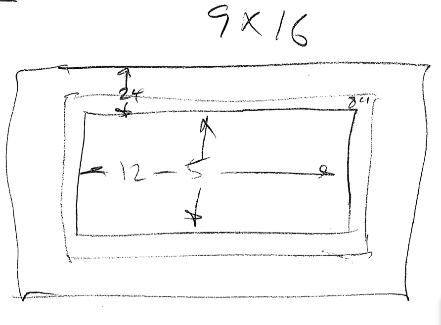
From there, we just determined the size hole we needed based on the required interior dimensions and the wall and footing specification.
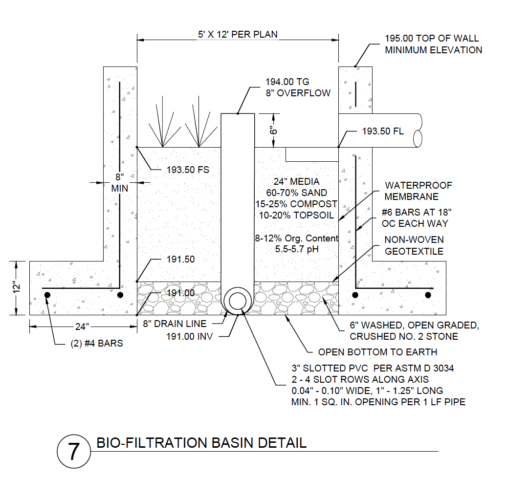
(The civil engineers were nice enough to put the elevation numbers on that detail as well. )
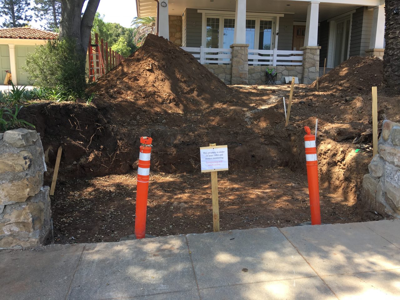
Here is the result.